

| Version 43 (modified by , 5 years ago) ( diff ) |
|---|
Page content was split into several pages but there are still incorrect links leading to this page.
Languages:
Table of content
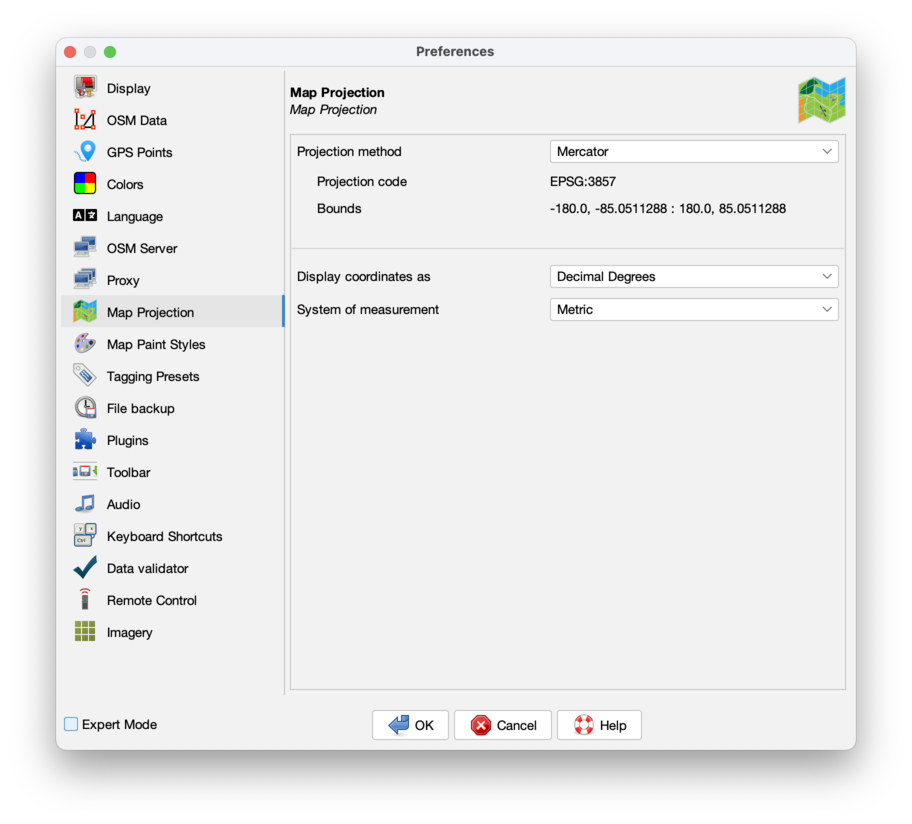
Preferences > Map Projection

Settings for the map projection and data interpretation
On each startup JOSM sets the projection method, the coordinate display format and the system of measurement back to user default settings.
Projection method
For the current session the projection method can be changed here.
A list of common projections is offered and customs projections can be set.
- Projection code
- shows the EPSG code for the projection.
- Bounds
- shows the region where the projection is valid.
Some projections are valid only for small parts of the world.
Common default projection for JOSM is Mercator (EPSG:3857).
It has certain advantages, one of them is that geometric figures (e.g. circles and rectangles) aren't deformed when displayed.
JOSM re-projects raster images from the projection of the source automatically to the current projection method.
- Set as default
- With this button the user default setting for the projection method is set. It is visible in Expert mode only, #14877.
Display coordinates as
Set the user default coordinate format (Decimal, Degrees, Nautical or Projected Coordinates).
System of measurement
Set the user default system of measurement (Metric, Chinese, Imperial or Nautical Mile).
In the status bar the coordinate format and the system of measurement can be changed in the context menu for the current session. So the numbers in Bounds may not fit to Display coordinates as.
Back to Preferences dialog
Back to Edit Menu
Back to Main Menu
Back to Main Help
Attachments (3)
-
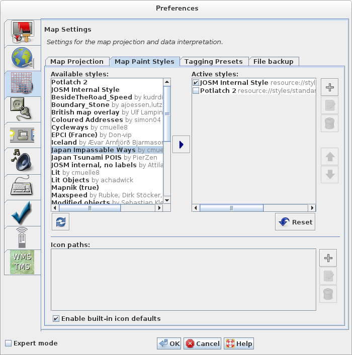
MapPaintStylesPreferences.png
(105.6 KB
) - added by 14 years ago.
screenshot
-
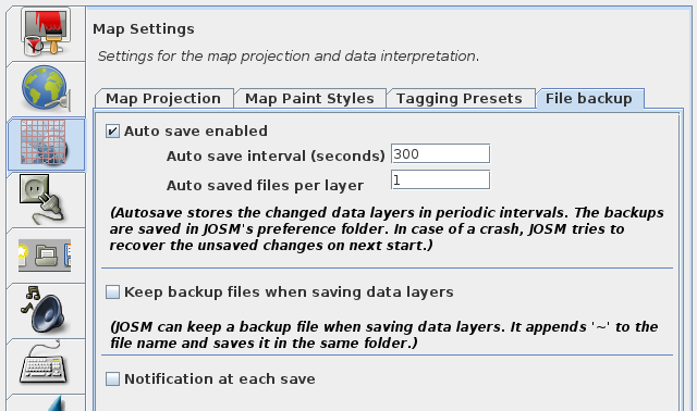
josm_prefs_file_backup.png
(62.9 KB
) - added by 6 years ago.
file backup screenshot
-
PreferencesMapProjection.png
(126.1 KB
) - added by 5 years ago.
new screenshot
Download all attachments as: .zip