

Page was split into several pages but some links are still incorrectly leading to this page.
Languages:
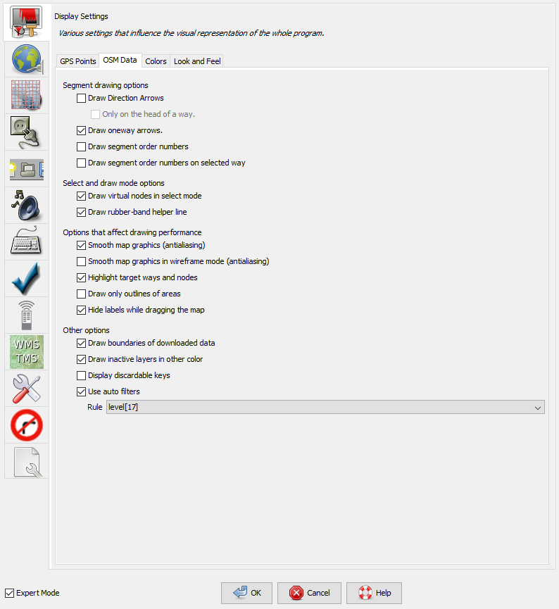
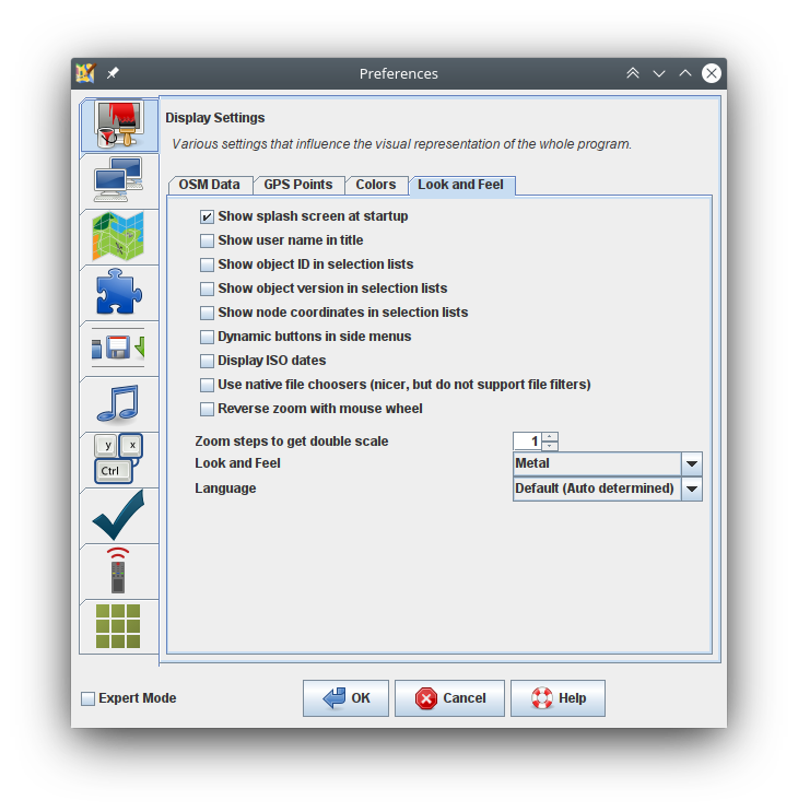
Preferences > Display

Various settings that influence the visual representation of the whole program.
Some settings are only displayed in expert mode.
- Look and Feel
-
You can choose the overall theme, the default options are:
Metal,Nimbus,CDE / Motif,GTK+,Windows,Windows Classic. Via the plugin FlatLaf more options are available including dark modes (since JOSM version 16974).
Advanced preference:laf

- Show splash screen at startup
-
The splash screen shows the loading of the modules and plugins when JOSM starts up.
Advance preference:draw.splashscreen
When ready, JOSM shows an informative welcome page with current news. This Startup page cannot be suppressed.
- Show user name in title
-
A name entered in the Connection Settings is displayed in the Title bar above the Main menu.
Advance preference:draw.show-user
- Show object ID in selection lists
-
Additional to an objects name its unique id is shown in lists of objects.
Advance preference:osm-primitives.showid
- Show object version in selection lists
-
Additionally the objects version number is shown in lists of objects like the Selection panel.
Advance preference:osm-primitives.showversion
- Show node coordinates in selection lists
-
Additionally shows for nodes their coordinates.
Advance preference:osm-primitives.showcoor
- Show localized name in selection lists
-
Show localized name in selection lists, if available. (Expert mode only)
Advance preference:osm-primitives.localize-name
- Modeless working (Potlatch style)
-
Do not require to switch modes (potlatch style workflow). (Expert mode only)
This option modifies the click behavior when editing. It transits between modes in a more automatic way, similar to the online flash editor Potlatch.
Advance preference:modeless

- Preview object properties on mouse hover
-
Show tags and relation memberships of objects in the properties dialog when hovering over them with the mouse pointer.
Advance preference:propertiesdialog.preview-on-hover
- Prefer showing information for selected objects
-
Always show information for selected objects when something is selected instead of the hovered object.
Advance preference:propertiesdialog.preview-on-hover.always-show-selected
- Dynamic buttons in side menus
-
Display buttons in right side menus only when mouse is inside the element.
Advance preference:dialog.dynamic.buttons
- Display ISO dates
-
Format dates according to ISO 8601. Today's date will be displayed as YYYY-MM-DD instead of your local date format.
Advance preference:iso.dates
- Remember dialog geometries
-
Memorises the dialog geometry.
Advance preference:gui.geometry.enabled
- Use native file choosers (nicer, but do not support file filters)
-
Use file choosers that behave more like native ones. They look nicer but do not support some features like file filters.
Advance preference:use.native.file.dialog
- Reverse zoom with mouse wheel
-
Check if you feel opposite direction more convenient.
Advance preference:zoom.reverse-wheel
- Intermediate steps between native resolutions
-
Divide intervals between native resolution levels to smaller steps if they are much larger than zoom ratio. (Expert mode only)
Advance preference:zoom.intermediate-steps
- Zoom steps to get double scale
-
Higher value means more steps needed, therefore zoom steps will be smaller.
Advance preference:zoom.ratio
Additional Tabs
Additional tabs may be added by Plugins.
Back to Preferences
Back to Edit Help
Back to Main Menu
Back to Main Help
Last modified
3 years ago
Last modified on 2023-02-20T18:26:47+01:00
Attachments (8)
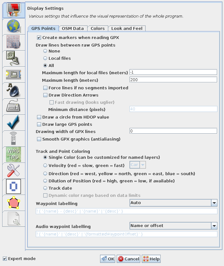
- gps-points.png (77.5 KB ) - added by 10 years ago.
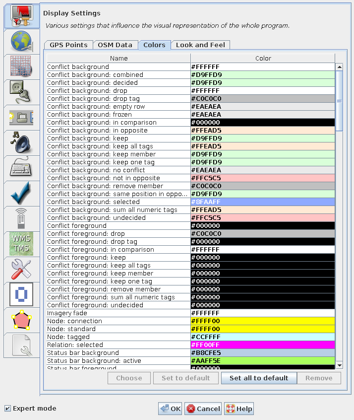
- colors.png (88.2 KB ) - added by 10 years ago.
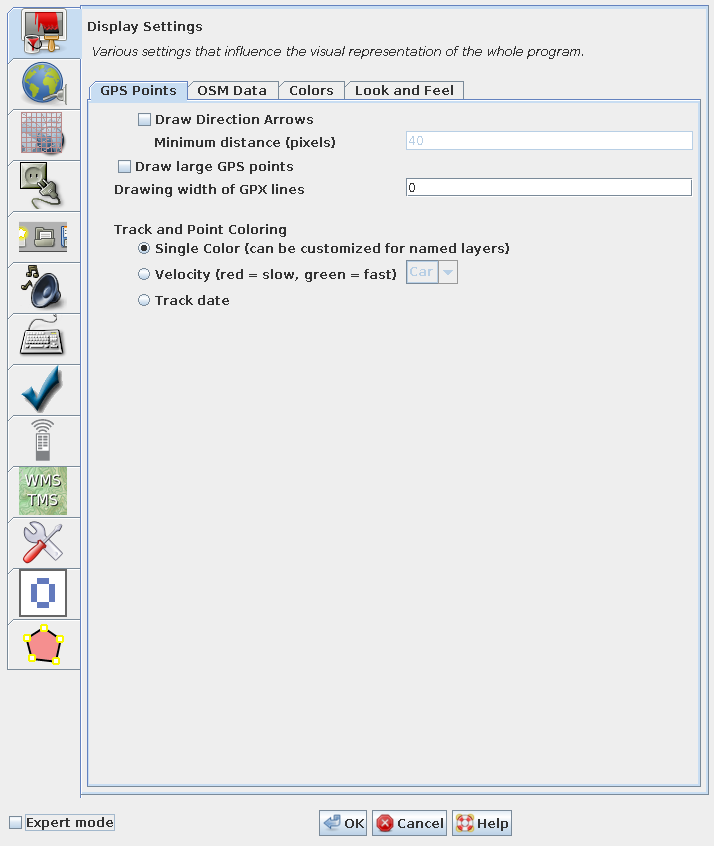
- gps-points-no-expert.png (62.3 KB ) - added by 10 years ago.
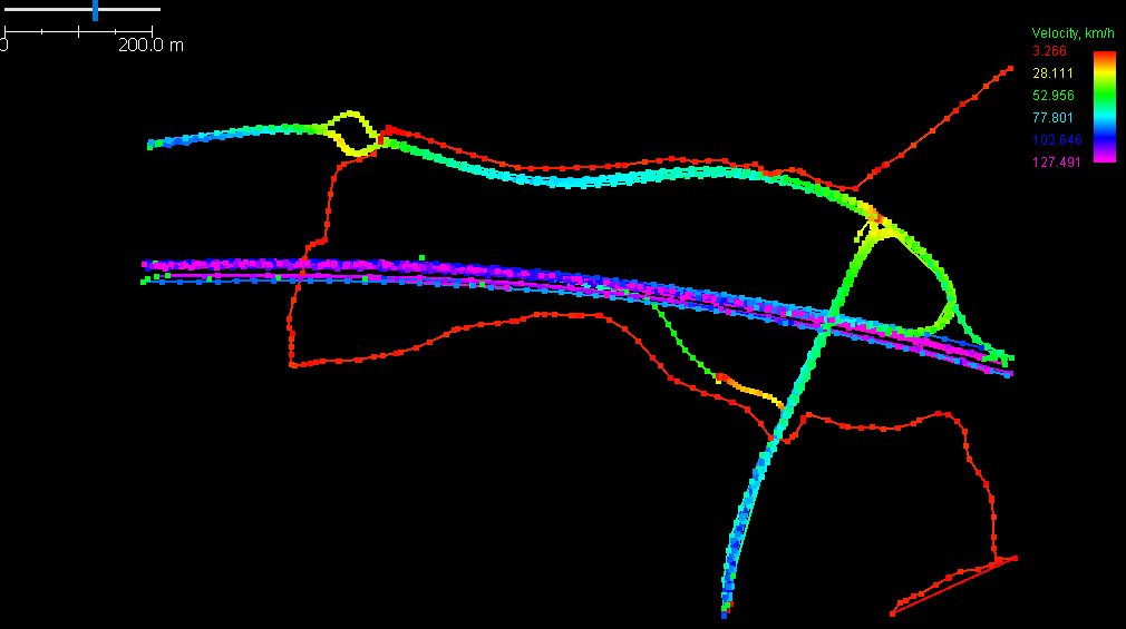
- velocity.png (17.7 KB ) - added by 9 years ago.
- osm-data.png (66.0 KB ) - added by 8 years ago.
-
look-and-feel.png
(90.5 KB
) - added by 6 years ago.
Tab "Look and Feel" of preferences "Display Settings"
-
PreferencesDisplay.png
(168.5 KB
) - added by 5 years ago.
new screenshot
-
PreferencesDisplayExpert.png
(155.3 KB
) - added by 5 years ago.
new expert mode screenshot
Download all attachments as: .zip
Note:
See TracWiki
for help on using the wiki.