

| Version 6 (modified by , 8 years ago) ( diff ) |
|---|
Languages:
Table of Contents
Geotagged Images window
![]() Keyboard shortcut:
Keyboard shortcut: Y — one of the JOSM windows
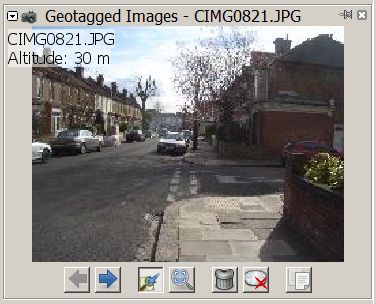
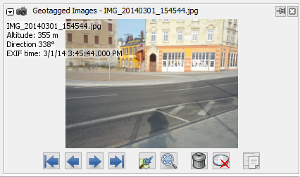
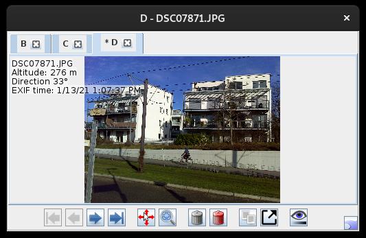
This window is a viewer for photos from a geoimage layer. It shows all photos from a source layer, whether geotagged or not.
Source Layer
 To change the source layer for the images displayed use the shortcut
 Ctrl+Alt+J⤳[0-9] or the context menu Jump to next marker from a Geoimage layer in the Layer List.
The source layer can get indirectly changed when an image is selected in the Map view and the current source layer is not the active layer. This may get confusing when navigating between several Geoimage layers.
Buttons
The Geotagged Images window has several buttons which operate on the photo:
 
| Previous PgUpor Next PgDwn
| Show the previous or the next image. |
 | Option Center View to always scroll the map to the location of the active image. | |
 | Toggle image zoom between best fit and 1:1. For further zooming use the mouse wheel. | |

| Shift+Delete
| Remove the image from the layer. |

| Ctrl+Shift+Del
| Delete the image from the storage medium. |

| Ctrl+Alt+Shift+C
| Copy image path |
Attachments (5)
-
ImageViewer-originalAuthor.jpg
(27.5 KB
) - added by 8 years ago.
Screenshot from OSM to honor the original author
- GeotaggedPhotos.png (111.3 KB ) - added by 8 years ago.
- GeotaggedPhotos_JOSMr18303.png (214.3 KB ) - added by 5 years ago.
-
ImageViewer_r18621.jpg
(35.3 KB
) - added by 4 years ago.
new screenshot (r18621)
-
ImageViewer_r19405.jpg
(36.6 KB
) - added by 15 months ago.
Image viewer screenshot update
Download all attachments as: .zip
Note:
See TracWiki
for help on using the wiki.