

Opened 18 years ago
Closed 17 years ago
#1868 closed defect (fixed)
wmsplugin: Unable to max-out yahoo resolution
| Reported by: | Owned by: | framm | |
|---|---|---|---|
| Priority: | major | Milestone: | |
| Component: | Plugin | Version: | latest |
| Keywords: | Cc: |
Description
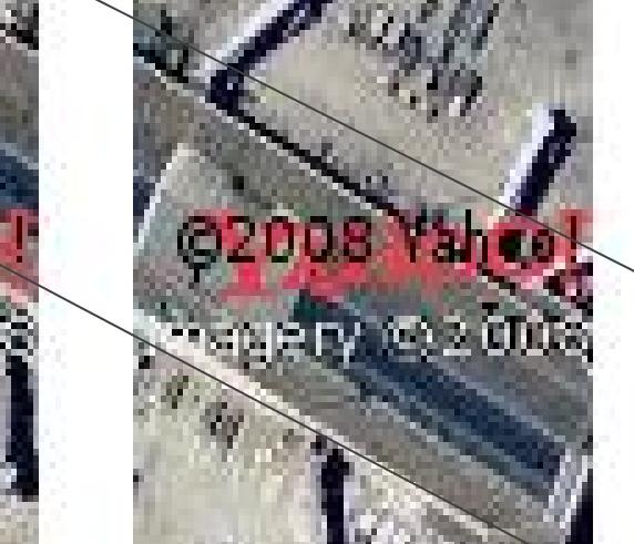
The WMS-Plugin is unable to download high-resolution tiles from Yahoo, e.g. compare:
http://maps.yahoo.com/#mvt=s&lat=37.615002&lon=-122.38285&zoom=21
to the screenshot attached.
Zooming in and hitting "Change resolution" produces even worse results.
WMS-Plugin version: 12439
Attachments (1)
Change History (8)
by , 18 years ago
| Attachment: | snapshot.jpg added |
|---|
comment:1 by , 18 years ago
| Summary: | wmsplugin (new): Unable to max-out resolution → wmsplugin: Unable to max-out yahoo resolution |
|---|
follow-up: 3 comment:2 by , 18 years ago
comment:3 by , 18 years ago
Potlatch is able to get the full Yahoo imagery resolution... Aren't they using the same API as the WMS plugin?
comment:4 by , 18 years ago
Hmm, they use Flash API not JavaScript. The page you refer above alsouses JavaScript, but of a totally different form. I really do not know.
At least I was unable to increase resolution with the JavaScript API. It is on zoom level 1 and this is the highest possible level (is reversed compared to OSM).
comment:5 by , 17 years ago
The problem is that you can only specify zoom levels up to 1 (see [0]). There seems to be a radius switch, as explained here [1] that allows with a low value [2] to achieve very good zoom levels, see [3]. However, it's not possible to switch the latter to sat mode, at least not in an obvious way that isn't hacking the API and we certainly don't want to do that. My guess is that we'll have to teach webkit using flash and use the flash API.
- [0] http://developer.yahoo.com/maps/ajax/V3.8/example/controls.html
- [1] http://developer.yahoo.com/maps/rest/V1/
- [2] http://local.yahooapis.com/MapsService/V1/mapImage?appid=YD-4g6HBf0_JX0yq2IsdnV1Ne9JTpKxQ3Miew--&latitude=37.61&longitude=-122.38&radius=0.1
- [3] http://gws.maps.yahoo.com/mapimage?MAPDATA=QivPCud6wXWzugjoXIvYiuww_OQo7X31H2770VHB86xAA7T4pmd5Qn2MRZWeJWnvykDgwMAhOueWfIJ0u50bjdJI_vTMobN.sNRjaZZ4Dvw4ChxfQ6ctML8dRo3Ds3USBA--&mvt=s&cltype=onnetwork&.intl=us&appid=YD-4g6HBf0_JX0yq2IsdnV1Ne9JTpKxQ3Miew--&oper=&_proxy=ydn,xml
comment:6 by , 17 years ago
FYI, the highest resolution tiles on yahoo are actually public domain imagery from USGS, which can also be obtained from terraservice.net's WMS feed (this only has data in those places where Yahoo has the high-res images):
wmsplugin.url.x.name=Terraserver Urban
wmsplugin.url.x.url=http://terraservice.net/ogcmap.ashx?version=1.1.1&request=GetMap&Layers=urbanarea&Styles=&SRS=EPSG:4326&format=image/jpeg&
(topo maps are available too, see my user page http://wiki.openstreetmap.org/wiki/User:Speight)
comment:7 by , 17 years ago
| Resolution: | → fixed |
|---|---|
| Status: | new → closed |
Added to the data sources of WMS plugin.
This resolution seems not to be reachable using the Yahoo API or there is some trick. Using the normal API description I was unable to reach that accuracy.