

#4620 closed defect (fixed)
Error: NaN in greatCircleDistance
| Reported by: | jstein | Owned by: | jstein |
|---|---|---|---|
| Priority: | normal | Milestone: | |
| Component: | Core | Version: | latest |
| Keywords: | Cc: | *Martin* |
Description
I get
Error: NaN in greatCircleDistance
on stderr.
What informations will be usefull?
Its always at first load.
Repository Root: http://josm.openstreetmap.de/svn
Build-Date: 2010-02-22 02:31:52
Last Changed Author: jttt
Revision: 3033
Repository UUID: 0c6e7542-c601-0410-84e7-c038aed88b3b
URL: http://josm.openstreetmap.de/svn/trunk
Last Changed Date: 2010-02-21 13:22:06 +0100 (Sun, 21 Feb 2010)
Last Changed Rev: 3033
Memory Usage: 27 MB / 254 MB (2 MB allocated, but free)
Java version: 1.6.0_16, Sun Microsystems Inc., Java HotSpot(TM) Client VM
Operating system: Linux
Dataset consistency test:
No problems found
Attachments (1)
Change History (14)
comment:1 by , 14 years ago
| Owner: | changed from to |
|---|---|
| Status: | new → needinfo |
comment:4 by , 14 years ago
probably. These are loaded:
Warning: failed to open file with extension 'xml' and namepart 'preset' in zip file 'Tdf.xml'. Exception was: java.util.zip.ZipException: error in opening zip file
loading plugin 'openstreetbugs'
Silent shortcut conflict: 'view:openstreetbugs' moved by 'system:download_primitive' to 'Ctrl+Alt+O'.
loading plugin 'wmsplugin'
loading plugin 'editgpx'
loading plugin 'PicLayer'
loading plugin 'tageditor'
loading plugin 'buildings_tools'
loading plugin 'lakewalker'
loading plugin 'osmarender'
loading plugin 'AddrInterpolation'
loading plugin 'terracer'
loading plugin 'multipoly'
Silent shortcut conflict: 'tools:multipoly' moved by 'tools:mirror' to 'Alt+Shift+M'.
comment:5 by , 14 years ago
| Resolution: | → fixed |
|---|---|
| Status: | needinfo → closed |
comment:6 by , 13 years ago
| Cc: | added |
|---|---|
| Resolution: | fixed |
| Status: | closed → reopened |
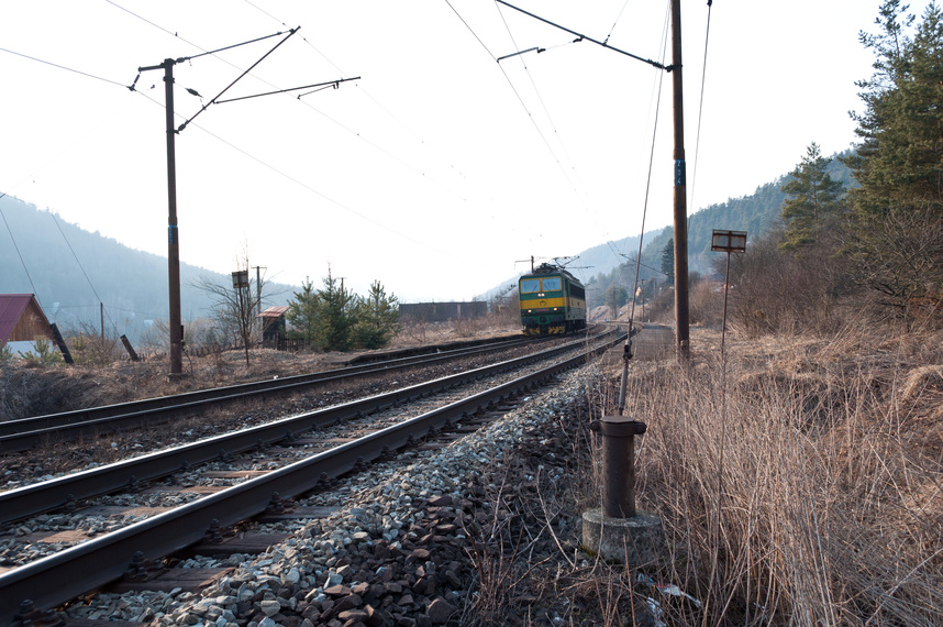
Attached a.jpg that causes the same error in JOSM rev. 4008
comment:9 by , 13 years ago
Maybe the revision has confused you:
Last Changed Rev: 3974
Revision: 4008
comment:10 by , 13 years ago
Actually I think your picture is probably not what you wanted to upload?
comment:11 by , 13 years ago
Why? What's wrong with the picture? Please don't give me puzzles and tell me directly what's the problem. The image is geotagged picture (with the train, but the content is irrelevant).
exiftool reports:
GPS Altitude                    : 324.1 m Above Sea Level
GPS Latitude                    : 48 deg 53' 19.41" N
GPS Latitude Ref                : North
GPS Longitude                   : 21 deg 2' 35.70" E
GPS Longitude Ref               : East
GPS Position                    : 48 deg 53' 19.41" N, 21 deg 2' 35.70" E
comment:12 by , 13 years ago
| Resolution: | → fixed |
|---|---|
| Status: | reopened → closed |
the bug you want to report is a different one.
Please open a new ticket and describe your bug precisely.
What projection do you use?